
The Dirt | Prairie Soils for Sustainable Restoration
The inspiration for this project came to light in 1931, when Kenneth Mark Fender, a passionate amateur entomologist, shared his collection of a small, blue butterfly with Dr. Ralph Macy. Dr. Macy determined that the “blue” was a new species, and named it Icaricia icarioides fenderi. More specimens were collected until 1937 after which time the species was presumed extinct. Paul Hammond rediscovered it in 1989 in the McDonald-Dunn Research Forest Butterfly Meadows.
Fast forward to 2016 through decades of collaboration between soil and water conservation districts, watershed councils, nonprofit organizations, government agencies, and landowners to maintain and restore rare and declining upland prairie habitats, such as those needed for the survival of the Fender’s blue butterfly.
In 2016, the Prairie Soils for Sustainable Restoration (PSSR) project was launched, thanks to funding from Oregon Natural Resources Conservation Service (NRCS). The goal was to answer the question: Could information from the soil explain why some prairie restoration efforts are more successful than others?
The PSSR project is rich in partnerships, processes, and landscapes. To date, 48 partners have cooperated to explore the innovative use of soil characteristics in the selection of upland prairie restoration sites. Partners include: NRCS, Benton SWCD, Yamhill SWCD, Marys River Watershed Council, Long Tom Watershed Council, Oregon State University (OSU) Central Analytical Lab, OSU faculty and students, Red Hill Soils, US Fish and Wildlife, Institute for Applied Ecology, Fitzpatrick Ecological Consulting, and GIS consultants. A Technical Review Team provided guidance for data collection and analysis, and restoration site selection.
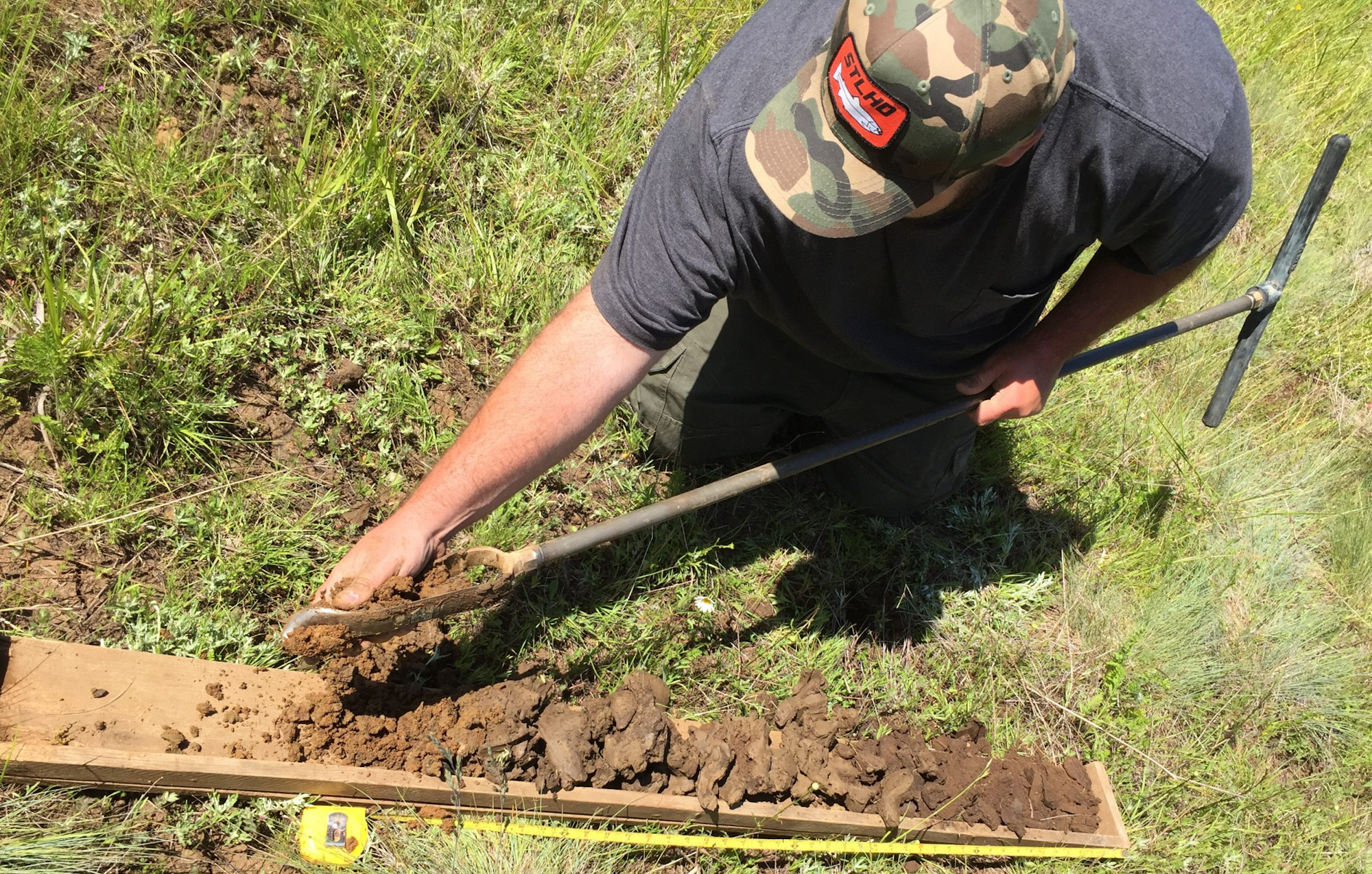
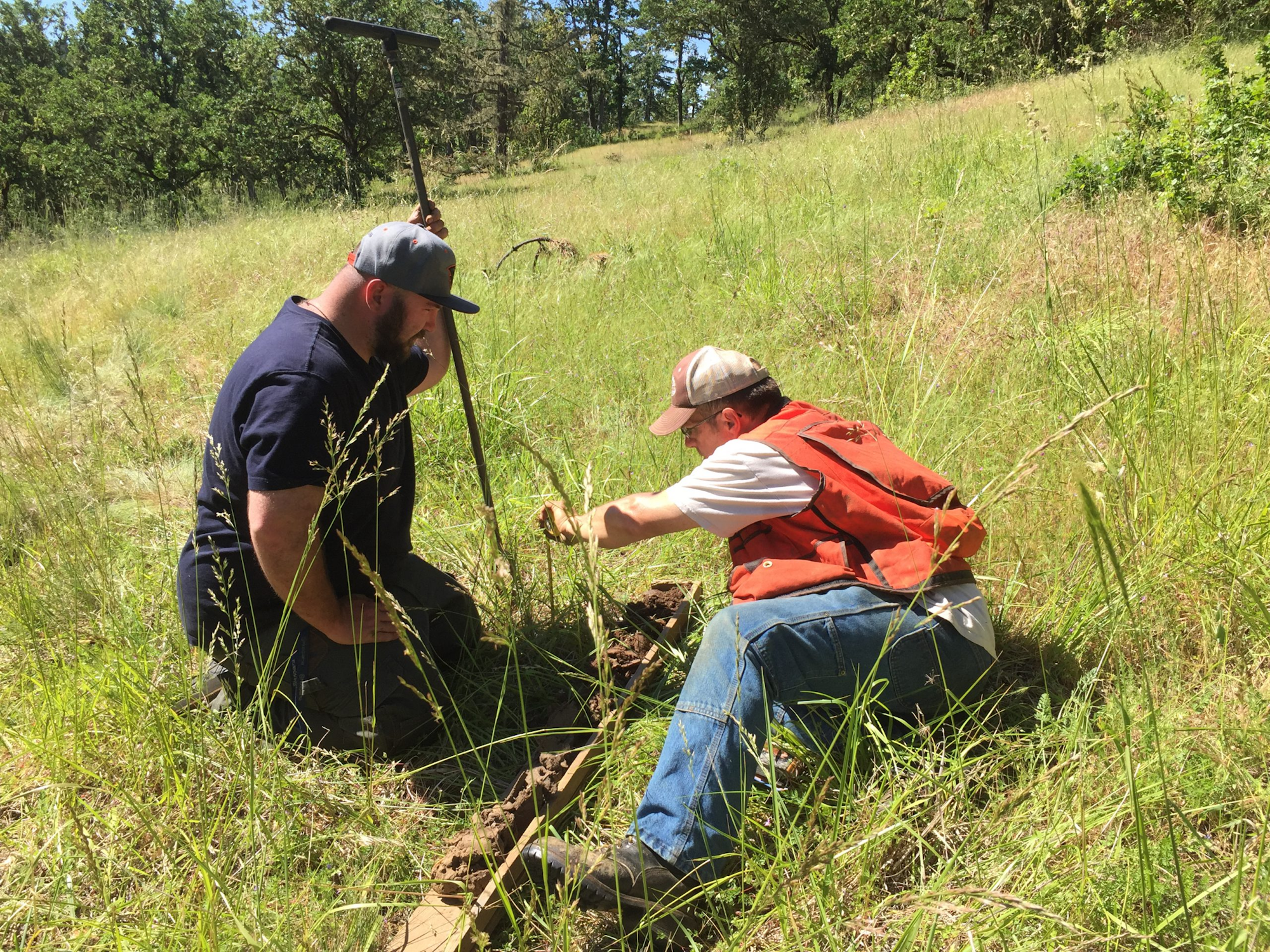
In winter of 2016 and spring of 2017, the soil survey team explored the soils of 23 landowners in Benton, Lane, and Yamhill Counties. Soil surveys were performed at 27 remnant prairies and 28 restoration sites in the Oregon Coast Range eastern foothills. From one to five soil borings were pulled per prairie for a total of 136 borings. At each boring site, the soil profile data was documented along with geolocation coordinates, weather, vegetation, and four (N, W, S, E) penetrometer readings to a depth of 18 inches. Soil samples were collected at each boring for lab assessments including standard chemistry tests: pH, P, K, Ca, Mg, Mn, Cu, Zn, B, NO3-N, CEC, EC, Sikora (lime requirement), and C:N. To evaluate the biological component of the soils, microbial respiration and microbial biomass were measured. Prairie composite samples were screened for the presence of Phytophthora species, a group of soil plant pathogens, as well as assayed for seven soil enzymes.

Remnant prairie vegetation surveys were performed in the summer of 2017 on two levels: a nine meter square plot near each soil boring and at a macro level within the prairie boundaries. The Prairie Habitat Quality Calculator (PHQC), a rapid assessment tool, was used to collect vegetation data including: structure, invasive plants, pollinator resources, and native plants. Use of the PHQC format will evaluate the ability to collect minimal vegetation data for comparisons across the selected prairies and to search for correlations with the various soil types.
The project desired outcome will be a pilot geospatial database, of vegetative composition and soils characteristics along with statistical analyses, to guide the selection of future upland prairie restoration sites.
